
凤凰岭 topographic map
Interactive map
Click on the map to display elevation.
About this map
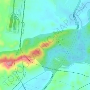
Name: 凤凰岭 topographic map, elevation, terrain.
Location: 凤凰岭, 南宁市, 广西壮族自治区, 中国 (22.72711 108.28004 22.72721 108.28014)
Average elevation: 367 ft
Minimum elevation: 249 ft
Maximum elevation: 715 ft
Other topographic maps
Click on a map to view its topography, its elevation and its terrain.