
凤凰岭 topographic map
Interactive map
Click on the map to display elevation.
About this map
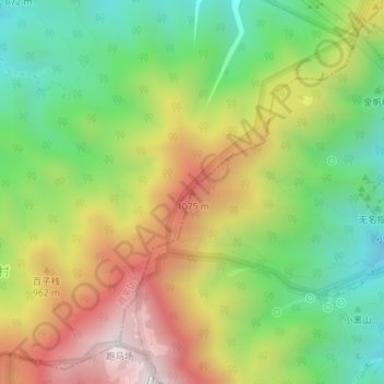
Name: 凤凰岭 topographic map, elevation, terrain.
Location: 凤凰岭, 海淀区, 北京市, 中国 (40.09448 116.04923 40.09458 116.04933)
Average elevation: 2,539 ft
Minimum elevation: 1,398 ft
Maximum elevation: 4,012 ft
Other topographic maps
Click on a map to view its topography, its elevation and its terrain.
北京西山国家森林公园
北京西山国家森林公园, 红枫路, 香山街道, 南辛村, 海淀区, 北京市, 100094, 中国
Average elevation: 810 ft