
万泉河 topographic map
Interactive map
Click on the map to display elevation.
About this map
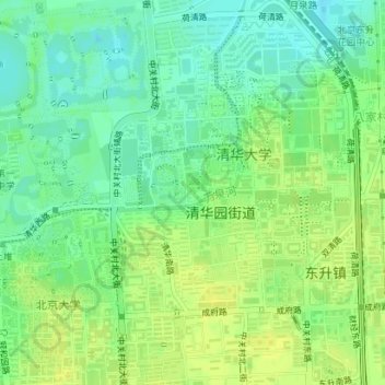
Name: 万泉河 topographic map, elevation, terrain.
Location: 万泉河, 海淀区, 北京市, 100084, 中国 (39.99842 116.31141 40.00059 116.32051)
Average elevation: 164 ft
Minimum elevation: 131 ft
Maximum elevation: 190 ft
Other topographic maps
Click on a map to view its topography, its elevation and its terrain.
北京西山国家森林公园
北京西山国家森林公园, 红枫路, 香山街道, 南辛村, 海淀区, 北京市, 100094, 中国
Average elevation: 810 ft