Geolocate

Rye topographic map

Click on the map to display elevation.

About this map

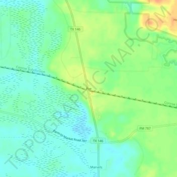
Name: Rye topographic map, elevation, terrain.

Location: Rye, Liberty County, Texas, 77369, United States (30.43271 -94.78882 30.47271 -94.74882)

Average elevation: 102 ft

Minimum elevation: 56 ft

Maximum elevation: 180 ft

Liberty County trails, hiking, mountain biking, running and outdoor activities

Other topographic maps

Click on a map to view its topography, its elevation and its terrain.

Dayton

United States > Texas > Liberty County

Average elevation: 52 ft

Kenefick

United States > Texas > Liberty County

Average elevation: 56 ft

Daisetta

United States > Texas > Liberty County

Average elevation: 69 ft

Cleveland

United States > Texas > Liberty County

Average elevation: 154 ft

Plum Grove

United States > Texas > Liberty County

Average elevation: 102 ft

Dayton

United States > Texas > Liberty County

Average elevation: 52 ft

Gear up for your next adventure:

🏕️Family Camping Gear - Essentials for group camping trips
⛑️Personal Locator Beacon - Safety beacon for emergencies
🧥Waterproof Jacket for Hiking - Breathable and rugged rain jacket for outdoor excursions
🔭Telescopic Hiking Pole - Adjustable pole for hiking stability
🗃️Trail First Aid Kit - Essential kit for outdoor injuries and emergencies

As an Amazon Associate, this site earns from qualifying purchases at no extra cost to you.