Geolocate

Plum Grove topographic map

Click on the map to display elevation.

About this map

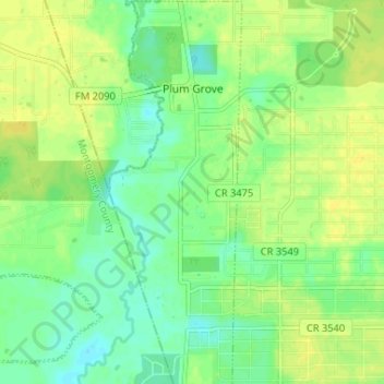
Name: Plum Grove topographic map, elevation, terrain.

Location: Plum Grove, Liberty County, Texas, United States (30.17112 -95.10921 30.22747 -95.08658)

Average elevation: 102 ft

Minimum elevation: 69 ft

Maximum elevation: 131 ft

Other topographic maps

Click on a map to view its topography, its elevation and its terrain.

Colony Ridge

United States > Texas > Liberty County

Average elevation: 112 ft

South Dayton

United States > Texas > Liberty County

Average elevation: 59 ft

Hightower

United States > Texas > Liberty County

Average elevation: 161 ft

Rye

United States > Texas > Liberty County

Average elevation: 102 ft

Cleveland

United States > Texas > Liberty County > Cleveland > Cleveland

Average elevation: 151 ft

Romayor

United States > Texas > Liberty County

Average elevation: 75 ft

Gear up for your next adventure:

GPS Sports Watch - GPS watch for running, hiking and training
🧦Hiking Socks - Comfortable socks to prevent blisters on long hikes
🛌Ultralight Sleeping Bags - Compact down bags for cold nights in the wilderness
📡Handheld GPS Device - Reliable handheld GPS for outdoor navigation
🎁Geography Themed Gifts - Unique gift ideas for map lovers and geography enthusiasts

As an Amazon Associate, this site earns from qualifying purchases at no extra cost to you.