
Allenton topographic map
Click on the map to display elevation.
Allenton
Allenton is located at latitude 43.421 and longitude -88.341. The elevation is 958 feet. Allenton has an area of 1.446 square miles (3.75 km2), all of it land. The Rock River cuts through the town.
About this map
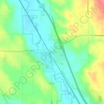
Name: Allenton topographic map, elevation, terrain.
Average elevation: 1,027 ft
Minimum elevation: 932 ft
Maximum elevation: 1,191 ft
Washington County trails, hiking, mountain biking, running and outdoor activities