
Ouseburn topographic map
Click on the map to display elevation.
About this map
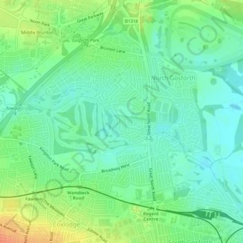
Name: Ouseburn topographic map, elevation, terrain.
Average elevation: 190 ft
Minimum elevation: 138 ft
Maximum elevation: 282 ft
Other topographic maps
Click on a map to view its topography, its elevation and its terrain.
Middle Brunton
United Kingdom > England > Newcastle upon Tyne > Hazlerigg Village
Average elevation: 207 ft
Newburn
United Kingdom > England > Newcastle upon Tyne
In 1855, William Whellan's History, Topography, and Directory of Northumberland described the banks of the Tyne at this point having extensive iron works, coal staithes, brickyards, chemical works and other manufactories.
Average elevation: 190 ft
Hazlerigg
United Kingdom > England > Newcastle upon Tyne > Hazlerigg Village
Average elevation: 217 ft