
碓臼峪村 topographic map
Interactive map
Click on the map to display elevation.
About this map
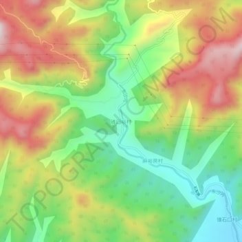
Name: 碓臼峪村 topographic map, elevation, terrain.
Location: 碓臼峪村, 昌平区, 北京市, 中国 (40.32082 116.16711 40.36082 116.20711)
Average elevation: 1,427 ft
Minimum elevation: 489 ft
Maximum elevation: 2,585 ft
Other topographic maps
Click on a map to view its topography, its elevation and its terrain.