
南邵镇 topographic map
Interactive map
Click on the map to display elevation.
About this map
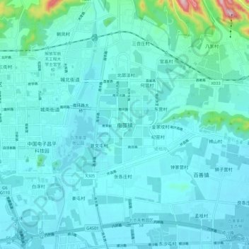
Name: 南邵镇 topographic map, elevation, terrain.
Location: 南邵镇, 昌平区, 北京市, 中国 (40.16654 116.24017 40.24654 116.32017)
Average elevation: 233 ft
Minimum elevation: 131 ft
Maximum elevation: 1,125 ft
Other topographic maps
Click on a map to view its topography, its elevation and its terrain.