
东小口镇 topographic map
Interactive map
Click on the map to display elevation.
About this map
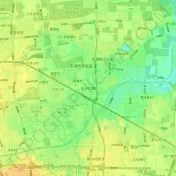
Name: 东小口镇 topographic map, elevation, terrain.
Location: 东小口镇, 昌平区, 北京市, 102218, 中国 (40.01708 116.36213 40.09708 116.44213)
Average elevation: 128 ft
Minimum elevation: 79 ft
Maximum elevation: 167 ft
Other topographic maps
Click on a map to view its topography, its elevation and its terrain.