
Jevnaker topographic map
Click on the map to display elevation.
About this map
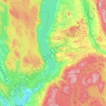
Name: Jevnaker topographic map, elevation, terrain.
Location: Jevnaker, Viken, 3520, Norway (60.16478 10.19427 60.40034 10.57689)
Average elevation: 1,142 ft
Minimum elevation: 217 ft
Maximum elevation: 2,487 ft
Other topographic maps
Click on a map to view its topography, its elevation and its terrain.