Geolocate

Grandin topographic map

Click on the map to display elevation.

About this map

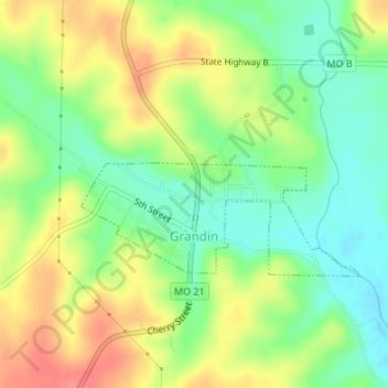
Name: Grandin topographic map, elevation, terrain.

Location: Grandin, Carter County, Missouri, United States (36.82640 -90.83272 36.83775 -90.80830)

Average elevation: 650 ft

Minimum elevation: 548 ft

Maximum elevation: 771 ft

Carter County trails, hiking, mountain biking, running and outdoor activities

Other topographic maps

Click on a map to view its topography, its elevation and its terrain.

Van Buren

United States > Missouri > Carter County > Van Buren > Van Buren

Average elevation: 561 ft

Hunter

United States > Missouri > Carter County

Average elevation: 735 ft

Fremont

United States > Missouri > Carter County

Average elevation: 719 ft

Gear up for your next adventure:

🚁Photography Drones - Capture stunning aerial views of landforms and topography
🌐World Map Poster - Decorative world maps with topographic info
🧭Outdoor Navigation Book - Learn advanced navigation skills
🏕️Tent Footprint - Protect your tent base from wear
🪶Trail Camera - Capture wildlife on your hikes

As an Amazon Associate, this site earns from qualifying purchases at no extra cost to you.