
Rosby topographic map
Click on the map to display elevation.
About this map
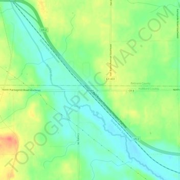
Name: Rosby topographic map, elevation, terrain.
Location: Rosby, Hubbard County, Minnesota, United States (47.38995 -94.82666 47.42995 -94.78666)
Average elevation: 1,391 ft
Minimum elevation: 1,322 ft
Maximum elevation: 1,490 ft
Hubbard County trails, hiking, mountain biking, running and outdoor activities
Other topographic maps
Click on a map to view its topography, its elevation and its terrain.