
Make a donation
Gear up for your next adventure:
As an Amazon Associate, this site earns from qualifying purchases at no extra cost to you.
Many Arm Lake topographic map
Click on the map to display elevation.
Make a donation
Gear up for your next adventure:
As an Amazon Associate, this site earns from qualifying purchases at no extra cost to you.
About this map
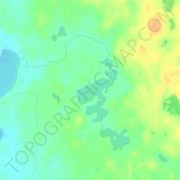
Name: Many Arm Lake topographic map, elevation, terrain.
Location: Many Arm Lake, Hubbard County, Minnesota, United States (47.03311 -95.07788 47.04277 -95.06854)
Average elevation: 1,480 ft
Minimum elevation: 1,434 ft
Maximum elevation: 1,545 ft
Hubbard County trails, hiking, mountain biking, running and outdoor activities
Make a donation
Gear up for your next adventure:
As an Amazon Associate, this site earns from qualifying purchases at no extra cost to you.
Other topographic maps
Click on a map to view its topography, its elevation and its terrain.
Make a donation
Gear up for your next adventure:
As an Amazon Associate, this site earns from qualifying purchases at no extra cost to you.