
Make a donation
Gear up for your next adventure:
As an Amazon Associate, this site earns from qualifying purchases at no extra cost to you.
West Farmington topographic map
Click on the map to display elevation.
Make a donation
Gear up for your next adventure:
As an Amazon Associate, this site earns from qualifying purchases at no extra cost to you.
About this map
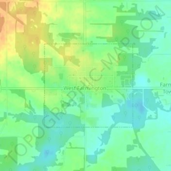
Name: West Farmington topographic map, elevation, terrain.
Location: West Farmington, Trumbull County, Ohio, United States (41.38420 -80.98227 41.39748 -80.96360)
Average elevation: 869 ft
Minimum elevation: 823 ft
Maximum elevation: 932 ft
Trumbull County trails, hiking, mountain biking, running and outdoor activities
Make a donation
Gear up for your next adventure:
As an Amazon Associate, this site earns from qualifying purchases at no extra cost to you.
Other topographic maps
Click on a map to view its topography, its elevation and its terrain.
Hakes Corners
United States > Ohio > Trumbull County > Niles > Weathersfield Township
Average elevation: 988 ft
Make a donation
Gear up for your next adventure:
As an Amazon Associate, this site earns from qualifying purchases at no extra cost to you.