
湾里街道 topographic map
Interactive map
Click on the map to display elevation.
About this map
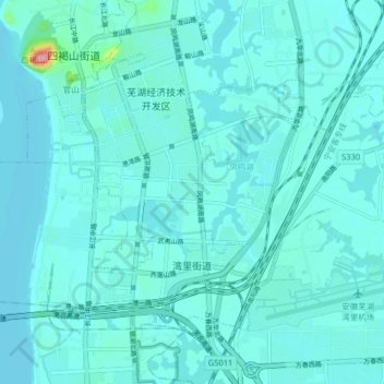
Name: 湾里街道 topographic map, elevation, terrain.
Location: 湾里街道, 鸠江区, 芜湖市, 安徽省, 中国 (31.38554 118.32806 31.43540 118.40872)
Average elevation: 36 ft
Minimum elevation: -7 ft
Maximum elevation: 407 ft
Other topographic maps
Click on a map to view its topography, its elevation and its terrain.