
二坝镇 topographic map
Interactive map
Click on the map to display elevation.
About this map
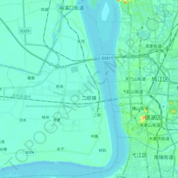
Name: 二坝镇 topographic map, elevation, terrain.
Location: 二坝镇, 鸠江区, 芜湖市, 安徽省, 中国 (31.29516 118.20039 31.43273 118.34790)
Average elevation: 26 ft
Minimum elevation: -7 ft
Maximum elevation: 240 ft
Other topographic maps
Click on a map to view its topography, its elevation and its terrain.