
白茆镇 topographic map
Interactive map
Click on the map to display elevation.
About this map
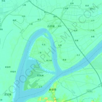
Name: 白茆镇 topographic map, elevation, terrain.
Location: 白茆镇, 鸠江区, 芜湖市, 安徽省, 中国 (31.17514 118.00250 31.32385 118.19033)
Average elevation: 26 ft
Minimum elevation: -3 ft
Maximum elevation: 197 ft
Other topographic maps
Click on a map to view its topography, its elevation and its terrain.