
万春街道 topographic map
Interactive map
Click on the map to display elevation.
About this map
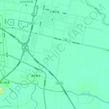
Name: 万春街道 topographic map, elevation, terrain.
Location: 万春街道, 鸠江区, 芜湖市, 安徽省, 中国 (31.29377 118.47079 31.37980 118.57030)
Average elevation: 26 ft
Minimum elevation: -16 ft
Maximum elevation: 131 ft
Other topographic maps
Click on a map to view its topography, its elevation and its terrain.