
畢拿山 topographic map
Interactive map
Click on the map to display elevation.
About this map
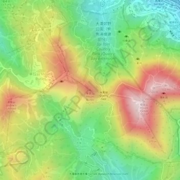
Name: 畢拿山 topographic map, elevation, terrain.
Location: 畢拿山, 香港島, 香港, 中国 (22.26761 114.21107 22.26771 114.21117)
Average elevation: 817 ft
Minimum elevation: 26 ft
Maximum elevation: 1,683 ft
Other topographic maps
Click on a map to view its topography, its elevation and its terrain.