
奇力島 topographic map
Interactive map
Click on the map to display elevation.
About this map
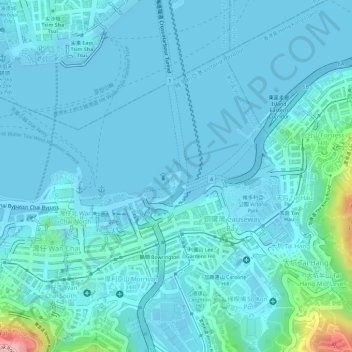
Name: 奇力島 topographic map, elevation, terrain.
Location: 奇力島, 東角, 銅鑼灣, 灣仔區, 香港島, 香港, 000000, 中国 (22.27450 114.17244 22.29450 114.19244)
Average elevation: 95 ft
Minimum elevation: -3 ft
Maximum elevation: 840 ft
Other topographic maps
Click on a map to view its topography, its elevation and its terrain.