
鴨脷排 topographic map
Interactive map
Click on the map to display elevation.
About this map
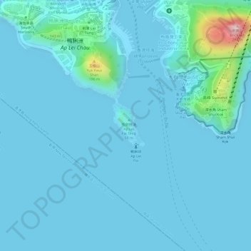
Name: 鴨脷排 topographic map, elevation, terrain.
Location: 鴨脷排, 大樹灣, 南區, 香港島, 香港, 中国 (22.22882 114.15884 22.23350 114.16264)
Average elevation: 72 ft
Minimum elevation: -7 ft
Maximum elevation: 863 ft
Other topographic maps
Click on a map to view its topography, its elevation and its terrain.