
Holly Lake Ranch topographic map
Click on the map to display elevation.
About this map
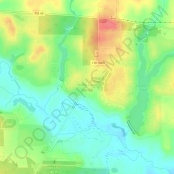
Name: Holly Lake Ranch topographic map, elevation, terrain.
Location: Holly Lake Ranch, Wood County, Texas, 75755, United States (32.69512 -95.22008 32.73512 -95.18008)
Average elevation: 400 ft
Minimum elevation: 305 ft
Maximum elevation: 538 ft
Wood County trails, hiking, mountain biking, running and outdoor activities
Other topographic maps
Click on a map to view its topography, its elevation and its terrain.