
Forbidden Peak topographic map
Click on the map to display elevation.
About this map
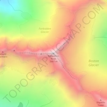
Name: Forbidden Peak topographic map, elevation, terrain.
Location: Forbidden Peak, Skagit County, Washington, United States (48.51158 -121.05854 48.51168 -121.05844)
Average elevation: 6,906 ft
Minimum elevation: 4,551 ft
Maximum elevation: 8,766 ft
Skagit County trails, hiking, mountain biking, running and outdoor activities
Other topographic maps
Click on a map to view its topography, its elevation and its terrain.
Saddlebag Island Marine State Park
United States > Washington > Skagit County
Average elevation: 10 ft