
Make a donation
Gear up for your next adventure:
As an Amazon Associate, this site earns from qualifying purchases at no extra cost to you.
Kaohsiung topographic map
Click on the map to display elevation.
Make a donation
Gear up for your next adventure:
As an Amazon Associate, this site earns from qualifying purchases at no extra cost to you.
About this map
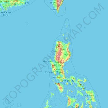
Name: Kaohsiung topographic map, elevation, terrain.
Location: Kaohsiung, Taiwan (10.34472 114.30722 23.47169 121.04904)
Average elevation: 95 ft
Minimum elevation: -10 ft
Maximum elevation: 11,093 ft
Make a donation
Gear up for your next adventure:
As an Amazon Associate, this site earns from qualifying purchases at no extra cost to you.
Other topographic maps
Click on a map to view its topography, its elevation and its terrain.
Make a donation
Gear up for your next adventure:
As an Amazon Associate, this site earns from qualifying purchases at no extra cost to you.
Make a donation
Gear up for your next adventure:
As an Amazon Associate, this site earns from qualifying purchases at no extra cost to you.
Make a donation
Gear up for your next adventure:
As an Amazon Associate, this site earns from qualifying purchases at no extra cost to you.
Make a donation
Gear up for your next adventure:
As an Amazon Associate, this site earns from qualifying purchases at no extra cost to you.
Make a donation
Gear up for your next adventure:
As an Amazon Associate, this site earns from qualifying purchases at no extra cost to you.
Make a donation
Gear up for your next adventure:
As an Amazon Associate, this site earns from qualifying purchases at no extra cost to you.
Make a donation
Gear up for your next adventure:
As an Amazon Associate, this site earns from qualifying purchases at no extra cost to you.
Make a donation
Gear up for your next adventure:
As an Amazon Associate, this site earns from qualifying purchases at no extra cost to you.
Make a donation
Gear up for your next adventure:
As an Amazon Associate, this site earns from qualifying purchases at no extra cost to you.
Jiaming Lake
Taiwan > Taitung County > Haiduan
This oval-shaped lake is located along the Southern Cross-Island Highway. The lake surface is 120 meters long and 80 meters wide at an elevation of 3,310 meters. It is surrounded by emerald green forest plantation and wildlife. The area surrounds the lake has lodges and hiking trail with a length of 13 km.
Average elevation: 10,469 ft
Wuling
Taiwan > Nantou County > Renai Township
Wuling (Chinese: 武嶺; pinyin: Wǔlǐng, el 3275 m), formerly known as Sakuma Pass (佐久間峠, Sakuma-tōge), is a mountain pass located in Ren'ai, Nantou, Taiwan, transversing the Central Mountain Range near the peak of Hehuanshan within Taroko National Park. It is the highest paved road in elevation in Taiwan.
Average elevation: 10,102 ft
Make a donation
Gear up for your next adventure:
As an Amazon Associate, this site earns from qualifying purchases at no extra cost to you.
Make a donation
Gear up for your next adventure:
As an Amazon Associate, this site earns from qualifying purchases at no extra cost to you.
Make a donation
Gear up for your next adventure:
As an Amazon Associate, this site earns from qualifying purchases at no extra cost to you.
Make a donation
Gear up for your next adventure:
As an Amazon Associate, this site earns from qualifying purchases at no extra cost to you.