
阿木去乎镇 topographic map
Interactive map
Click on the map to display elevation.
About this map
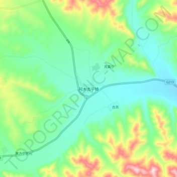
Name: 阿木去乎镇 topographic map, elevation, terrain.
Location: 阿木去乎镇, 夏河县, 甘南藏族自治州, 甘肃省, 中国 (34.77171 102.64792 34.85171 102.72792)
Average elevation: 10,256 ft
Minimum elevation: 9,803 ft
Maximum elevation: 11,339 ft
Other topographic maps
Click on a map to view its topography, its elevation and its terrain.