
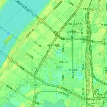
张家湾 topographic map
Interactive map
Click on the map to display elevation.
About this map
Name: 张家湾 topographic map, elevation, terrain.
Location: 张家湾, 洪山区, 武汉市, 湖北省, 中国 (30.45787 114.23687 30.51085 114.30248)
Average elevation: 72 ft
Minimum elevation: 39 ft
Maximum elevation: 108 ft
Other topographic maps
Click on a map to view its topography, its elevation and its terrain.