
天兴洲 topographic map
Interactive map
Click on the map to display elevation.
About this map
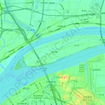
Name: 天兴洲 topographic map, elevation, terrain.
Location: 天兴洲, 洪山区, 武汉市, 湖北省, 中国 (30.65903 114.36641 30.69256 114.48096)
Average elevation: 79 ft
Minimum elevation: 39 ft
Maximum elevation: 203 ft
Other topographic maps
Click on a map to view its topography, its elevation and its terrain.