
左岭街道 topographic map
Interactive map
Click on the map to display elevation.
About this map
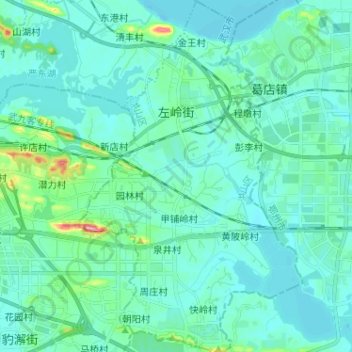
Name: 左岭街道 topographic map, elevation, terrain.
Location: 左岭街道, 东湖新技术开发区(托管), 洪山区, 武汉市, 湖北省, 中国 (30.45358 114.56599 30.56404 114.64775)
Average elevation: 98 ft
Minimum elevation: 36 ft
Maximum elevation: 505 ft
Other topographic maps
Click on a map to view its topography, its elevation and its terrain.