Geolocate

Farrington topographic map

Click on the map to display elevation.

About this map

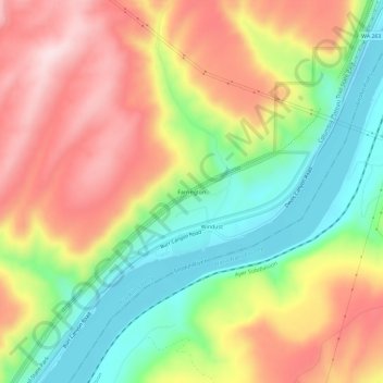
Name: Farrington topographic map, elevation, terrain.

Location: Farrington, Franklin County, Washington, United States (46.51958 -118.59860 46.55958 -118.55860)

Average elevation: 965 ft

Minimum elevation: 407 ft

Maximum elevation: 1,555 ft

Franklin County trails, hiking, mountain biking, running and outdoor activities

Other topographic maps

Click on a map to view its topography, its elevation and its terrain.

Basin City

United States > Washington > Franklin County

Average elevation: 725 ft

West Pasco

United States > Washington > Franklin County

Average elevation: 390 ft

Mesa

United States > Washington > Franklin County

Average elevation: 784 ft

Pasco

United States > Washington > Franklin County > Pasco

Average elevation: 541 ft

Gear up for your next adventure:

🧯Emergency Survival Kit - All‑in‑one survival essentials for the backcountry
🔥Camping Stove - Portable stove for camping and backcountry cooking
🔊Portable Camp Speaker - Music and alerts at camp
📌Outdoor GPS Map App - Apps and devices for digital topographic navigation
🗺️NatGeo Topo Maps - High-quality waterproof printed topographic maps of US Parks

As an Amazon Associate, this site earns from qualifying purchases at no extra cost to you.