
西华山村 topographic map
Interactive map
Click on the map to display elevation.
About this map
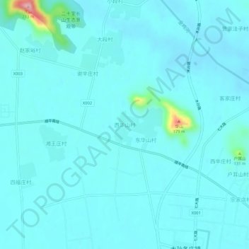
Name: 西华山村 topographic map, elevation, terrain.
Location: 西华山村, 顺义区, 北京市, 中国 (40.08612 116.88068 40.12612 116.92068)
Average elevation: 128 ft
Minimum elevation: 79 ft
Maximum elevation: 604 ft
Other topographic maps
Click on a map to view its topography, its elevation and its terrain.