
后俸伯村 topographic map
Interactive map
Click on the map to display elevation.
About this map
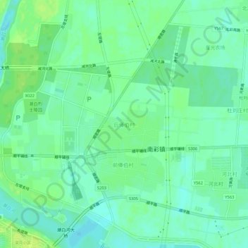
Name: 后俸伯村 topographic map, elevation, terrain.
Location: 后俸伯村, 顺义区, 北京市, 中国 (40.11645 116.67844 40.15645 116.71844)
Average elevation: 108 ft
Minimum elevation: 85 ft
Maximum elevation: 128 ft
Other topographic maps
Click on a map to view its topography, its elevation and its terrain.