
Hailakandi topographic map
Click on the map to display elevation.
About this map
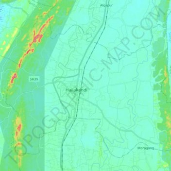
Name: Hailakandi topographic map, elevation, terrain.
Location: Hailakandi, Assam, India (24.62252 92.49330 24.75498 92.66577)
Average elevation: 92 ft
Minimum elevation: 39 ft
Maximum elevation: 374 ft
Other topographic maps
Click on a map to view its topography, its elevation and its terrain.