
叶集区 topographic map
Interactive map
Click on the map to display elevation.
About this map
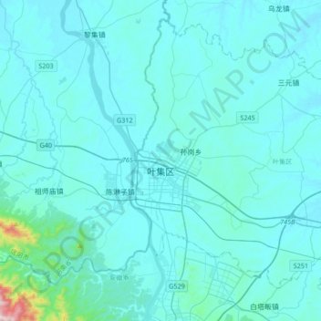
Name: 叶集区 topographic map, elevation, terrain.
Location: 叶集区, 六安市, 安徽省, 中国 (31.74868 115.88791 31.99938 116.22205)
Average elevation: 276 ft
Minimum elevation: 121 ft
Maximum elevation: 2,917 ft
Other topographic maps
Click on a map to view its topography, its elevation and its terrain.