
霍邱县 topographic map
Interactive map
Click on the map to display elevation.
About this map
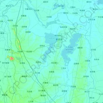
Name: 霍邱县 topographic map, elevation, terrain.
Location: 霍邱县, 六安市, 安徽省, 中国 (31.93208 115.83921 32.60853 116.54289)
Average elevation: 112 ft
Minimum elevation: 49 ft
Maximum elevation: 1,296 ft
Other topographic maps
Click on a map to view its topography, its elevation and its terrain.