
裕安区 topographic map
Interactive map
Click on the map to display elevation.
About this map
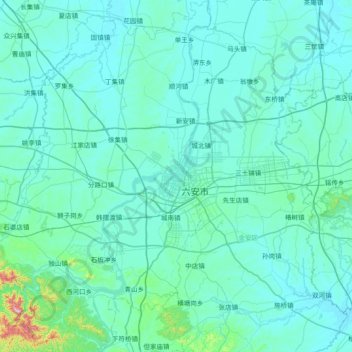
Name: 裕安区 topographic map, elevation, terrain.
Location: 裕安区, 六安市, 安徽省, 中国 (31.44924 116.00613 32.07713 116.54702)
Average elevation: 207 ft
Minimum elevation: 56 ft
Maximum elevation: 2,490 ft
Other topographic maps
Click on a map to view its topography, its elevation and its terrain.