
大河沿 topographic map
Interactive map
Click on the map to display elevation.
About this map
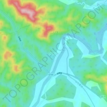
Name: 大河沿 topographic map, elevation, terrain.
Location: 大河沿, 六安市, 安徽省, 中国 (31.24543 116.62362 31.28543 116.66362)
Average elevation: 394 ft
Minimum elevation: 197 ft
Maximum elevation: 984 ft
Other topographic maps
Click on a map to view its topography, its elevation and its terrain.