
益哇镇 topographic map
Interactive map
Click on the map to display elevation.
About this map
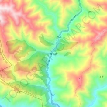
Name: 益哇镇 topographic map, elevation, terrain.
Location: 益哇镇, 迭部县, 甘南藏族自治州, 甘肃省, 中国 (34.09827 103.13010 34.17827 103.21010)
Average elevation: 9,701 ft
Minimum elevation: 8,035 ft
Maximum elevation: 11,857 ft
Other topographic maps
Click on a map to view its topography, its elevation and its terrain.