
帕尕 topographic map
Interactive map
Click on the map to display elevation.
About this map
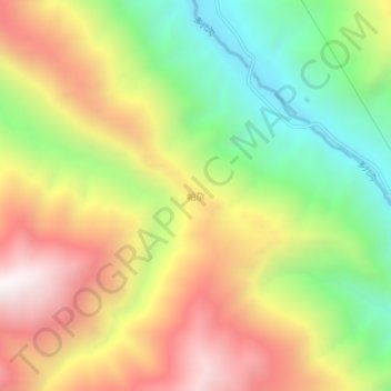
Name: 帕尕 topographic map, elevation, terrain.
Location: 帕尕, 迭部县, 甘南藏族自治州, 甘肃省, 中国 (33.87720 103.71200 33.91720 103.75200)
Average elevation: 8,389 ft
Minimum elevation: 6,175 ft
Maximum elevation: 10,814 ft
Other topographic maps
Click on a map to view its topography, its elevation and its terrain.