
丹凤县 topographic map
Interactive map
Click on the map to display elevation.
About this map
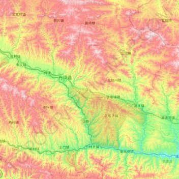
Name: 丹凤县 topographic map, elevation, terrain.
Location: 丹凤县, 商洛市, 陕西省, 中国 (33.35915 110.12835 33.95087 110.81210)
Average elevation: 3,146 ft
Minimum elevation: 1,001 ft
Maximum elevation: 5,761 ft
Other topographic maps
Click on a map to view its topography, its elevation and its terrain.