
丰台花园 topographic map
Interactive map
Click on the map to display elevation.
About this map
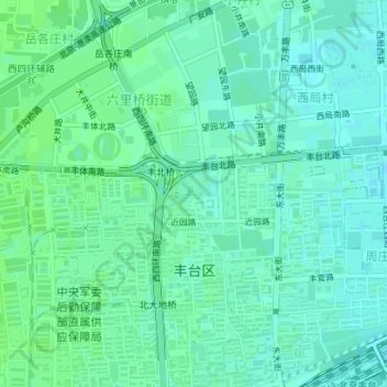
Name: 丰台花园 topographic map, elevation, terrain.
Location: 丰台花园, 北大街北里-北区, 丰台街道, 丰台区, 北京市, 中国 (39.86072 116.27759 39.86400 116.28259)
Average elevation: 167 ft
Minimum elevation: 154 ft
Maximum elevation: 177 ft
Other topographic maps
Click on a map to view its topography, its elevation and its terrain.