
魏各庄村 topographic map
Interactive map
Click on the map to display elevation.
About this map
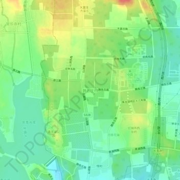
Name: 魏各庄村 topographic map, elevation, terrain.
Location: 魏各庄村, 丰台区, 北京市, 中国 (39.78497 116.07285 39.82497 116.11285)
Average elevation: 266 ft
Minimum elevation: 190 ft
Maximum elevation: 387 ft
Other topographic maps
Click on a map to view its topography, its elevation and its terrain.