
大红门村 topographic map
Interactive map
Click on the map to display elevation.
About this map
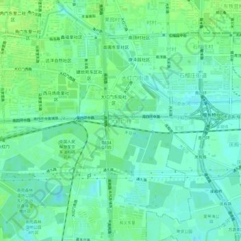
Name: 大红门村 topographic map, elevation, terrain.
Location: 大红门村, 丰台区, 北京市, 100075, 中国 (39.81022 116.37817 39.85022 116.41817)
Average elevation: 135 ft
Minimum elevation: 115 ft
Maximum elevation: 148 ft
Other topographic maps
Click on a map to view its topography, its elevation and its terrain.