
右安门村 topographic map
Interactive map
Click on the map to display elevation.
About this map
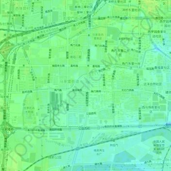
Name: 右安门村 topographic map, elevation, terrain.
Location: 右安门村, 丰台区, 北京市, 100067, 中国 (39.81984 116.34428 39.85984 116.38428)
Average elevation: 141 ft
Minimum elevation: 121 ft
Maximum elevation: 157 ft
Other topographic maps
Click on a map to view its topography, its elevation and its terrain.