Geolocate

Patton topographic map

Click on the map to display elevation.

About this map

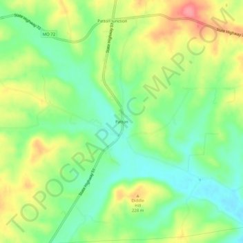
Name: Patton topographic map, elevation, terrain.

Location: Patton, Bollinger County, Missouri, 63662, United States (37.48228 -90.03344 37.52228 -89.99344)

Average elevation: 656 ft

Minimum elevation: 538 ft

Maximum elevation: 820 ft

Bollinger County trails, hiking, mountain biking, running and outdoor activities

Other topographic maps

Click on a map to view its topography, its elevation and its terrain.

Zalma

United States > Missouri > Bollinger County

Average elevation: 404 ft

Sedgewickville

United States > Missouri > Bollinger County

Average elevation: 614 ft

Glen Allen

United States > Missouri > Bollinger County

Average elevation: 525 ft

Gear up for your next adventure:

🎒Hydration Pack - Hands‑free water reservoir for long hikes
🪵Folding Camp Saw - Compact saw for wood and campsite work
👟Trail Running Shoes - Lightweight shoes for trail runners
🥩Freeze-Dried Meals - Nutritious and lightweight food for remote expeditions
🧤Tactile Hiking Gloves - Keep hands warm while operating GPS and smartphone screens

As an Amazon Associate, this site earns from qualifying purchases at no extra cost to you.