
Suffield Township topographic map
Interactive map
Click on the map to display elevation.
About this map
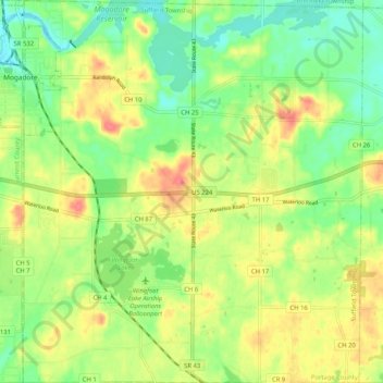
Name: Suffield Township topographic map, elevation, terrain.
Average elevation: 1,152 ft
Minimum elevation: 1,060 ft
Maximum elevation: 1,266 ft
Portage County trails, hiking, mountain biking, running and outdoor activities
Other topographic maps
Click on a map to view its topography, its elevation and its terrain.
Tom S Cooperrider-Kent Bog State Nature Preserve
United States > Ohio > Portage County
Average elevation: 1,099 ft
Nelson Ledges Quarry Park
United States > Ohio > Portage County > Garrettsville
Average elevation: 1,004 ft