
联合村 topographic map
Interactive map
Click on the map to display elevation.
About this map
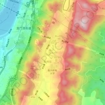
Name: 联合村 topographic map, elevation, terrain.
Location: 联合村, 南岸区, 重庆市, 400065, 中国 (29.52102 106.58423 29.56102 106.62423)
Average elevation: 1,306 ft
Minimum elevation: 512 ft
Maximum elevation: 2,136 ft
Other topographic maps
Click on a map to view its topography, its elevation and its terrain.