
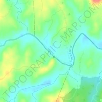
Tar River topographic map
Click on the map to display elevation.
About this map
Name: Tar River topographic map, elevation, terrain.
Location: Tar River, Granville County, North Carolina, United States (36.17520 -78.50833 36.18296 -78.49641)
Average elevation: 282 ft
Minimum elevation: 213 ft
Maximum elevation: 417 ft
Granville County trails, hiking, mountain biking, running and outdoor activities
Other topographic maps
Click on a map to view its topography, its elevation and its terrain.