
Wilton topographic map
Click on the map to display elevation.
About this map
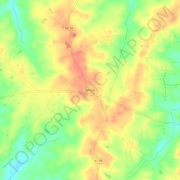
Name: Wilton topographic map, elevation, terrain.
Location: Wilton, Granville County, North Carolina, United States (36.12291 -78.59757 36.16291 -78.55757)
Average elevation: 407 ft
Minimum elevation: 315 ft
Maximum elevation: 476 ft
Granville County trails, hiking, mountain biking, running and outdoor activities
Other topographic maps
Click on a map to view its topography, its elevation and its terrain.