Geolocate

Kinuso topographic map

Click on the map to display elevation.

About this map

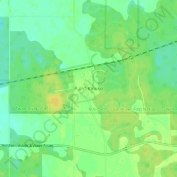
Name: Kinuso topographic map, elevation, terrain.

Location: Kinuso, Division No. 17, Alberta, Canada (55.30905 -115.45141 55.34905 -115.41141)

Average elevation: 1,926 ft

Minimum elevation: 1,896 ft

Maximum elevation: 1,955 ft

Other topographic maps

Click on a map to view its topography, its elevation and its terrain.

Lesser Slave Lake

Canada > Alberta > Division No. 17

Average elevation: 2,313 ft

Gear up for your next adventure:

🥘Titanium Cookware - Durable, featherlight pots and pans for backpacking
🧭Pro Hiking Compasses - High-accuracy liquid-filled compasses for topographic orientation
🎒Hydration Pack - Hands‑free water reservoir for long hikes
❄️Traction Cleats - Prevent slips on icy trails during winter hikes
🌎3D Topographic Globes - Raised relief globes for a tactile understanding of geography

As an Amazon Associate, this site earns from qualifying purchases at no extra cost to you.